Mushermore Mountain
On a fair September's day, we set out the short distance from Macroom, a short journey by car, to Musheramore. Up the butter man's road we went, there wasn't a cloud in the sky, and the forecast for the day was good. Parking at the entrance to the old Millstreet Park, we began our hike by climbing the turnstile opposite the Park gates.
Mushermore, at 644m, is the highest of the Boggeragh Mountains, a stretch of mountain range that lie between and around Macroom, Ballyvourney and Millstreet. It is a Special Conservation Area (SAP) the area is awash with wet and blanket bog. Once over the turnstile, the route is pretty much onwards and upwards. Beautiful heathers and bogland are home to an array of birds, sheep and deer. We could hear and see, starlings fly about in excitement. If you are a birdwatcher you, maybe lucky enough to see Hen Harrier or Merlin, which are a protected species under Annex I of the E.U. Birds Directive.
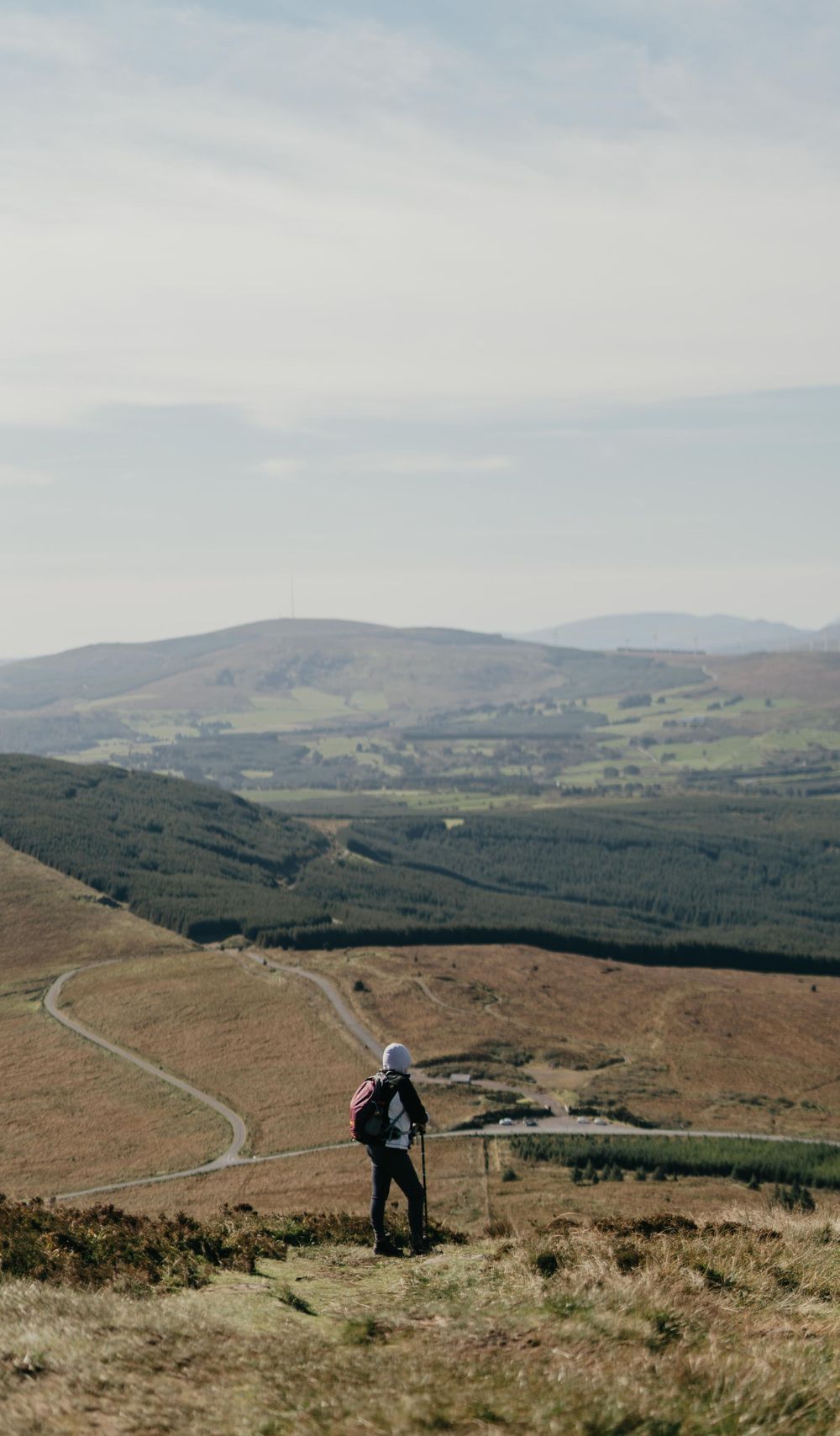


Upwards we went
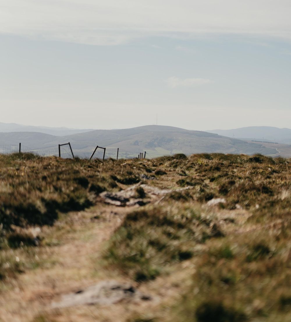
On a clear day, the views from the top are amazing. You can see Macroom and the downland beyond. The Boggeragh Mountains including Clara Mountain, Mullaghansh, the Derrysaggart Mountains, Shehy Mountains and the Galtee Mountains to the North appear to be within arms reach. There is a stone cairn, cross and Ordinance Survey navigation marker atop the Mountain. The top cairn is said to be where you took sick animals for healing, and St. Johns Well at the base of the hill is said to be for humans. Although to my mind, indeed it would have been a lot easier to carry a sick animal to St. Johns Well, then up a mountain. The mind does boggle.
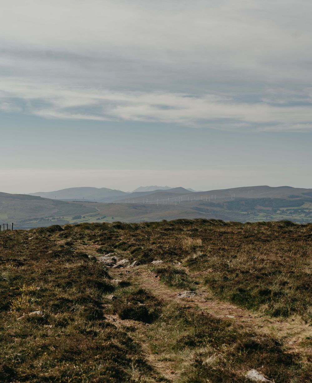
The Boggeragh Mountains itself is rich in historical artefacts and long revered. There are the two holy wells on Musheramore Mountain itself, to the bronze age stone circle of Carrigagulla and wedge tombs at Carriganima and Lackaneen. Why the area was so revered, it is hard to tell, given how open it is to the elements. But the views from the top, of both the sunrise and sunset, really do make it a sacred place.

Get away from it all
Mushera is only 16km from Macroom, but it feels very remote due to the lack of people living on the mountain itself, aside from a few old farmsteads. The area is mainly used for sheep grazing and by walkers who choose to traverse Musheramore or Musherabeag or the narrow roads in the area to take in the views. So if your looking for thing to do in Macroom. Mushera should definitely be on your list.
To find out more about the history of the site, check out this Wikipedia or the Irish Times article by Tony Doherty is another great reference point before you start your trip, Click Here.


FAQ
How to get there?
Coming from Cork, drive directly to Macroom. Take a right turn at the bridge and follow the road towards Ballinagree. It's signposted from there.
Google maps is pretty accurate with this one.
What to wear and what to bring?
A good pair of hiking boots and pole.
Waterproof jacket and pants.
Backpack with plenty of water and food, there are no shops for 16km.
Map, compass and phone for safety.
What about the weather?
The weather is quite changeable on the mountain. Having adequete west weather gear and hiking boots is advised. Its also recommended to check the forecast prior to undertaking any hike.
How long does it take?
Depending on your level of fitness, you could be up and down within the hour.
We however stopped multiple times to take in the view.
West Cork Elopements, off the beaten track.
West Cork Elopements, off the beaten track.